Oviedo
Oviedo
Project Snapshot
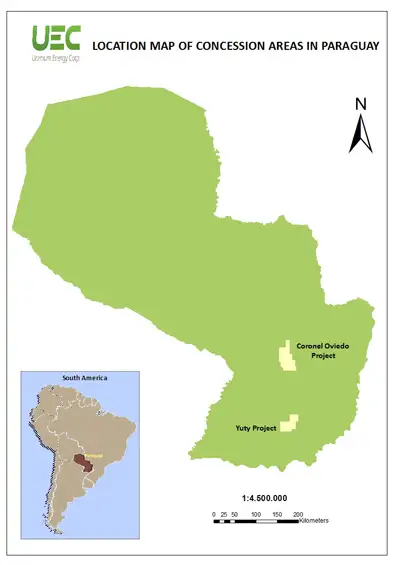
- 500,000-acre project located in the area of Coronel Oviedo, Paraguay holds large-scale potential with similar mineralization and geological setting as the Company's In-situ Recovery (ISR) projects in South Texas
- ISR recovery amenability indicated by Company's initial aquifer test
- Subject to extensive uranium exploration by Anschutz Corp (1976-1983) and Crescent Resources (2006-2008)
Recent Developments
Oct 15, 2013
Uranium Energy Corp Reports Fiscal 2013 Financial Results and Provides Operations Update
Sep 5, 2013
Uranium Energy Corp Aligns Operations to Market Conditions with Optimization Strategy
Jun 10, 2013
Uranium Energy Corp Reports Fiscal 2013 Q3 Production Results and Provides Operations Update
Project Overview
The Oviedo Project (the “Project”) is located in stable and business-friendly Paraguay, is geologically very similar to the South Texas uranium belt and is anticipated to be ISR amenable as initially indicated through our pump-test studies.
The Project, covering over 500,000 acres in central Paraguay, was subject to extensive uranium exploration between 1976 and 1983 by Anschutz Corporation of Denver, Colorado, and by Crescent Resources Corp. between 2006 and 2008. Most of the uranium occurrences in this environment are “roll-front” type mineralization similar to deposits currently being produced by low-cost ISR methods in Texas, the western United States, Central Asia and Australia. The work by Anschutz and Crescent was centered on a large belt of Permo-Carboniferous age continental sandstones that represent the western flank of the Parana Basin. According to the Geological Survey of Brazil or CPRM, these same sandstones within the Brazilian section of the Parana Basin contain numerous uranium occurrences including the Figueira Mine that hosted 19 million pounds of U3O8 according to published government reports.
Between 1976 and 1983, Anschutz Corporation, with joint venture partners Korea Electric Power and Taiwan Power Company, spent approximately US$30 million evaluating an area covering over 6.2 million acres of prospective ground in central and eastern Paraguay.
Anschutz identified the Project as prospective towards the end of their regional program. In total, approximately 28 widely spaced drill holes were drilled on the Project, and of these, 17 drill holes showed significant uranium values, with the best being 6.2 feet of 0.153% U3O8 at a starting depth of 785 feet. The drilling also identified three mineralized fronts, and a 75 mile-long fault structure which appears to have been the source of the gases that localized the concentration of uranium, again very similar to a South Texas-type uranium depositional model.
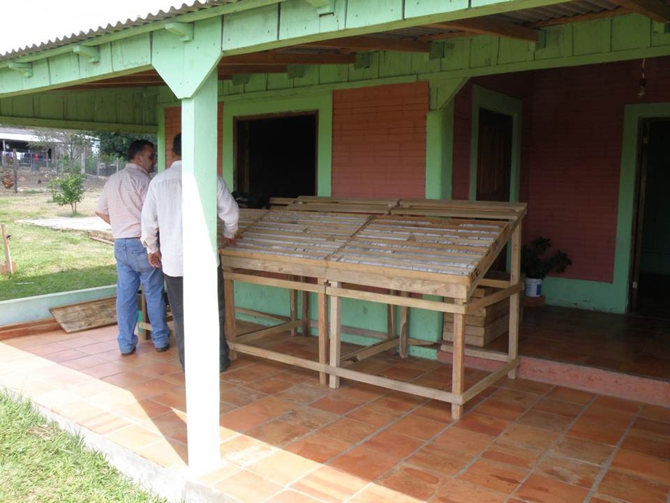
From 2006 to 2008, the Project was optioned to Crescent Resources. During this period, a total of 24 holes were drilled and logged in the southern portion of the Project, offsetting mineralized holes drilled by Anschutz. The Crescent and Anschutz drilling identified an open-ended mineralization area characterized by tabular mineralization similar to that found at the Company’s Goliad Project. The known uranium mineralization on the Project intersected by the past drilling is at depths between 450 and 750 feet.
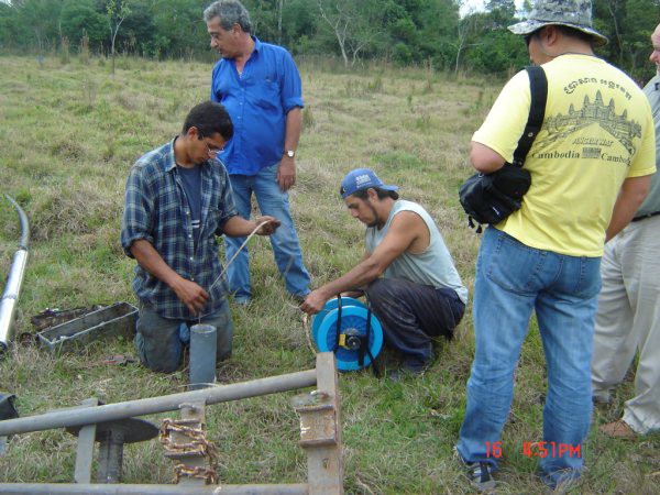
Prior to completing the acquisition, Uranium Energy enlisted HydroSolutions, of Denver, Colorado, to conduct a 24-hour aquifer test in the mineralized area identified by the Anschutz-Crescent drilling programs to determine if the aquifer could sustain extraction rates typical of ISR mining of uranium; and it can.
In 2012 the Company completed a 10,000-meter drilling program, a detailed carborne radiometric survey, Landsat-based structural and geochemical analysis, surface mapping, sampling and other exploration efforts.
- Based on interpretation of both current and historic drill data, uranium mineralization is Sandstone-Type mineralization within the Upper Permian Carboniferous stratigraphic sequence specifically within the San Miguel Formation;
- Aquifer testing to date indicates that the uranium bearing unit has aquifer characteristics that would support operational rates for in-situ recovery (“ISR”) mining and that the aquifer properties determined from the test fall within the range of values determined at other uranium ISR projects located in Wyoming, Texas and Nebraska;
- Limited core data indicates that the uranium mineralization is in radiometric equilibrium;
- Drilling identified an oxidation reduction (redox) boundary along some 21 kilometers (13 miles) and demonstrated that significant thicknesses (1.9 to 11.1 meters) of mineralization are present. In addition, based on surface radiometric anomalies and limited drill data, the redox boundary may be projected an additional 40 kilometers; and
Other portions of the Project area are sparsely explored. Surface radiometric anomalies and the favorable geologic setting in these areas warrant further exploration.
Oviedo